ArcGIS GeoService
Dataset description:
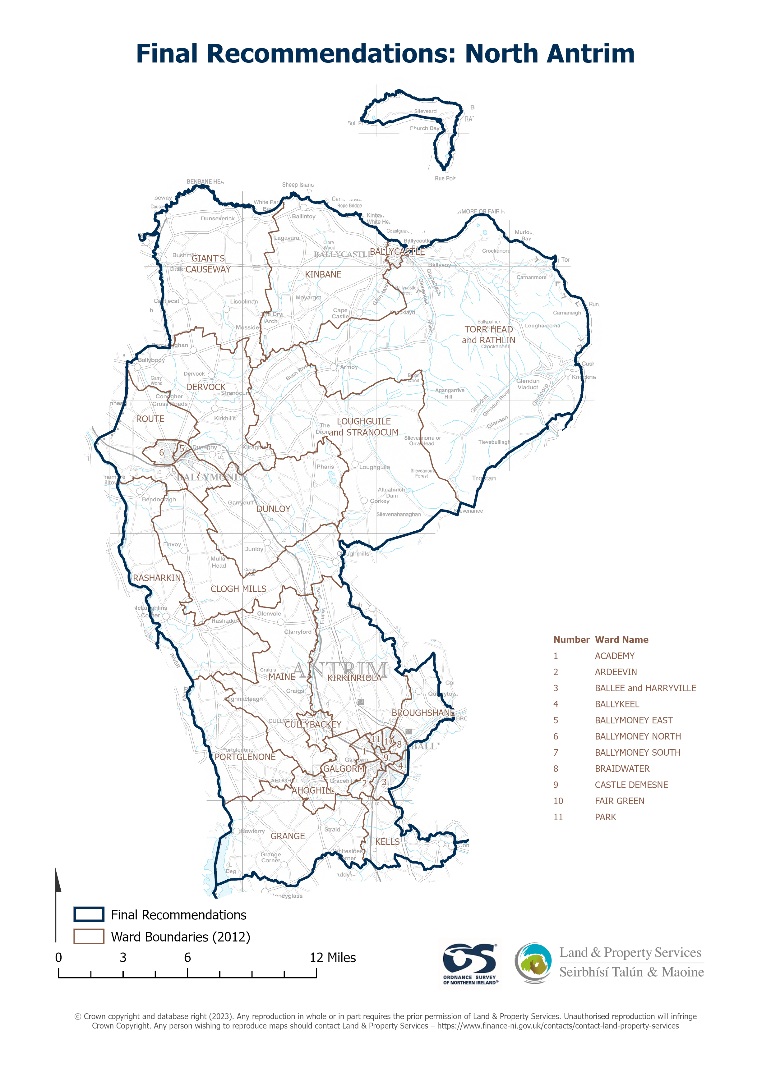
Raster download of Parliamentary Constituency 2023 of North Antrim. The OSNI Large-scale Parliamentary Constituencies boundaries is a dataset consisting of official boundaries as agreed...
Source: OSNI OpenData - Parliamentary Constituencies 2023 - North Antrim
There are no views created for this resource yet.
Additional Information
| Field | Value |
|---|---|
| Metadata last updated | August 27, 2025 |
| Created | August 27, 2025 |
| Format | JSON |
| License | UK Open Government Licence (OGL) |
| Access url | https://docs.spatialni.gov.uk/OpenData/OSNIOpenData_ParliamentaryConstituencies2023/PC2023_North_Antrim.png |
| Datastore active | False |
| Distribution ref | N201fa67342c04d06904f9dae3db298de |
| Has views | False |
| Id | 980a310a-fb73-48d5-a64e-02e8eafe0780 |
| Mimetype | application/json |
| Package id | de2cc9c0-7c74-4e88-9c10-6adbbf64ad6e |
| Position | 1 |
| Requested | False |
| State | active |